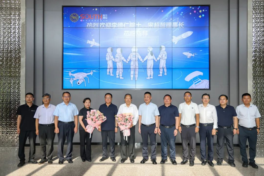
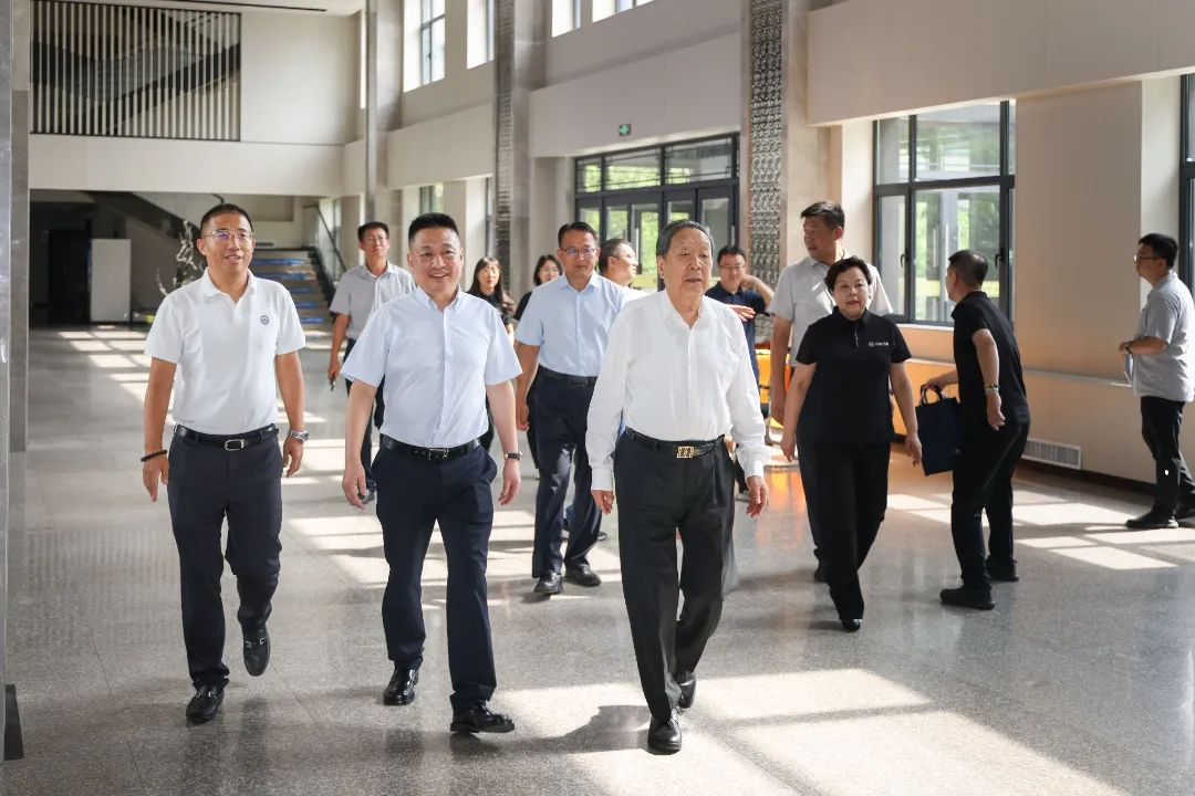
On August 20, 2025, the Liaoning Province Surveying and Mapping Academic Report Conference was held in the lecture hall of the International Education College of our university. Professor Li Deren, recipient of the National Highest Science and Technology Award, academician of the Chinese Academy of Sciences, and academician of the Chinese Academy of Engineering, along with Song Chaozhi, Chairman of the Chinese Society for Surveying and Mapping, were invited to give reports. They aimed to enhance the intelligent technological production level of spatiotemporal information and help the industry meet the challenges of technological innovation in surveying, mapping, and geographic information in the new era. This was not only an academic feast but also a significant opportunity for our university to deepen industry-academia integration, serve national strategies, and promote the construction and development of the Shenggong-South Surveying and Mapping Beidou Spatiotemporal Information Industry College. Yang Guofan, Chairman of the Liaoning Society for Surveying, Mapping, and Geographic Information; Miao Xiaolin, Group Executive Vice President of Guangzhou South Surveying and Mapping Technology Co., Ltd.; Guo Baoyu, Group Vice President and General Manager of the Education Business Division; Shi Zhongyuan, Executive President of the Northern Region and General Manager of the Jilin-Liaoning Branch Company; as well as our university's Chairman Wang Zhaobao and Party Committee Secretary Hu Xiaomei attended the report conference. The conference was presided over by President Li Kangju.
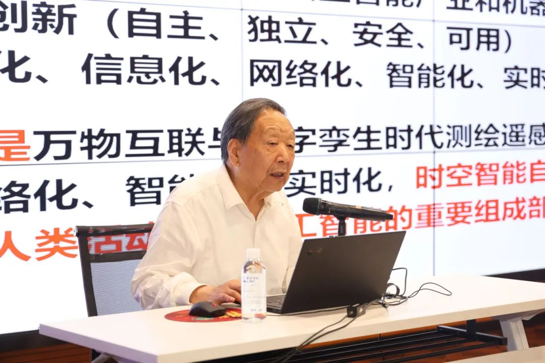
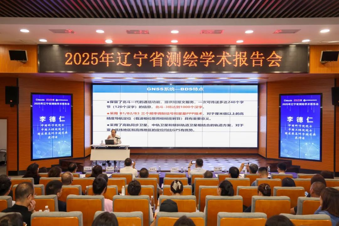
At the report conference, Academician Li Deren gave a presentation titled "On Ubiquitous Spatiotemporal Intelligence," covering aspects such as new quality productivity and spatiotemporal intelligence; air-space spatiotemporal intelligence: ubiquitous PNT and PNTRC; ground spatiotemporal intelligence: UAVs and mobile measurement robots; surface and underwater spatiotemporal intelligence: sensor networks and unmanned vessels; deep space spatiotemporal intelligence: lunar and Mars exploration; socio-economic spatiotemporal intelligence; and medical spatiotemporal intelligence. He pointed out that the world is material, matter is in motion, and the moving material world is described by spatiotemporal information. In today's era of the Internet of Everything and artificial intelligence, the acquisition, processing, information extraction, and knowledge mining of spatiotemporal data need to move towards intelligence, giving rise to spatiotemporal intelligence.
Academician Li Deren explained that spatiotemporal intelligence is a technology that uses intelligent sensors for communication, navigation, and remote sensing, along with cloud computing and artificial intelligence methods, to perceive and cognize natural activities, human activities, and bodily activities, thereby supporting intelligent decision-making. Through means such as satellites, UAVs, and mobile measurement, it can achieve ubiquitous PNT positioning, navigation, and remote sensing services, providing support for the sustainable development of the social economy, playing an important role in global monitoring, disaster warning, ecological protection, and other areas, and helping to achieve sustainable development goals.
The significance of spatiotemporal intelligence is profound and far-reaching. At the disciplinary level, spatiotemporal intelligence is the core of contemporary and future remote sensing and geographic informatics and an important component of artificial intelligence technology. It can accurately answer six key questions: "what time, what place, what target, what changes, why changes, and what decisions," providing a more systematic and intelligent methodology for human cognition of the world. In terms of practical application value, it plays an irreplaceable role in researching major issues related to human survival and development, such as food security, water resource protection, and rational energy utilization, providing precise spatiotemporal data support and analysis basis for scientific decision-making in these fields. From a macro perspective, spatiotemporal intelligence is not only an important technical support for national prosperity but also has a decisive impact on promoting the sustainable development of harmonious coexistence between humans and nature. Through precise perception and scientific regulation of natural and human activities, it injects strong momentum into global sustainable development.
He elaborated on the multi-domain applications of spatiotemporal intelligence: air-space spatiotemporal intelligence uses satellites for PNT positioning, navigation, timing, and remote sensing, applied in surface measurement, ocean monitoring, precision agriculture, etc.; ground spatiotemporal intelligence uses UAVs and mobile measurement robots for surface measurement and geographic information acquisition; surface and underwater spatiotemporal intelligence relies on surface and underwater intelligent detection equipment and unmanned vessels to monitor and detect marine and underwater environments; deep space spatiotemporal intelligence is applied in lunar and Mars exploration; socio-economic spatiotemporal intelligence uses visible light and near-infrared brightness obtained by remote sensing satellites at night to characterize socio-economic elements such as urban (scope), GDP distribution, and population distribution—economic growth, urbanization, and humanitarian disasters can all be reflected in multi-temporal nightlight remote sensing images; medical spatiotemporal intelligence is applied in diagnosis, treatment, prevention, and healthcare, using spatiotemporal information for analysis and decision-making.
He emphasized that to embrace new quality productivity from surveying, mapping, remote sensing, and geographic informatics to spatiotemporal intelligence, efforts must be made to promote and realize ubiquitous spatiotemporal intelligence across sky, ground, and sea; to urgently advance the popularization of spatiotemporal intelligence services integrating communication, navigation, and remote sensing under the guidance of artificial intelligence; to create multiple trillion-yuan new quality productivity industries; and to courageously promote the evolution of surveying and mapping into spatiotemporal intelligence. He highly affirmed our university's educational conditions and achievements, expressing his hope that the university would develop better and better and cultivate more outstanding talents for China's spatiotemporal intelligence development.
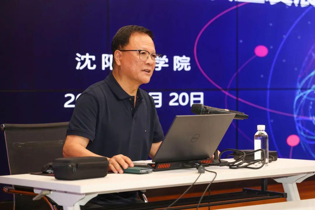
Song Chaozhi delivered a report titled "Under the Guidance of New Quality Productivity——Accelerating the Promotion of Technological Innovation and High-Quality Development in Surveying, Mapping, and Geographic Information." He shared insights on four aspects: the basic situation of China's technological innovation in surveying and mapping and the development of the geographic information industry in recent years; problems existing in China's technological innovation and industrial development in surveying, mapping, and geographic information; environmental analysis of technological innovation and industrial development in China's surveying, mapping, and geographic information; and strategic ideas for promoting self-reliance and self-improvement in China's surveying, mapping, and geographic information technology and achieving high-quality development.
He emphasized that in recent years, surveying and mapping science and technology have rapidly advanced under the guidance of new quality productivity. Particularly, on the basis of comprehensive upgrades in surveying equipment, technology, and product services, they have closely integrated with high-tech such as mobile internet, cloud computing, big data, and artificial intelligence. Ubiquity, integration, and transformation have become the main trends in the surveying, mapping, and geographic information industry.
"The value of technological innovation ultimately lies in its application."
Song Chaozhi stated that modern surveying and mapping technology, which integrates satellite navigation, remote sensing, geographic information, as well as new technologies like big data, cloud computing, and artificial intelligence, is changing people's production and lifestyle, supporting their aspirations for a better life. Supported by spatiotemporal data, new models and applications such as smart transportation, intelligent living, and digital twin cities effectively solve pain points and difficulties in real life, promoting these digital economy industries to form new growth poles. Surveying and mapping technology has also become one of the most eye-catching core applications in the digital economy.
He admitted that the cross-border integration of surveying, mapping, and geographic information technology with various industries and new technologies brings opportunities along with challenges. However, he firmly believes that with the continuous improvement of the policy support environment and mechanisms for technological innovation, the motivation for self-reliance and high-quality development of surveying and mapping technology will be stronger in the new era and journey, the level of independent innovation capability will be higher, and it will solidify the foundation of geographic information spatiotemporal big data, aiding the development of the digital economy and the construction of Digital China.
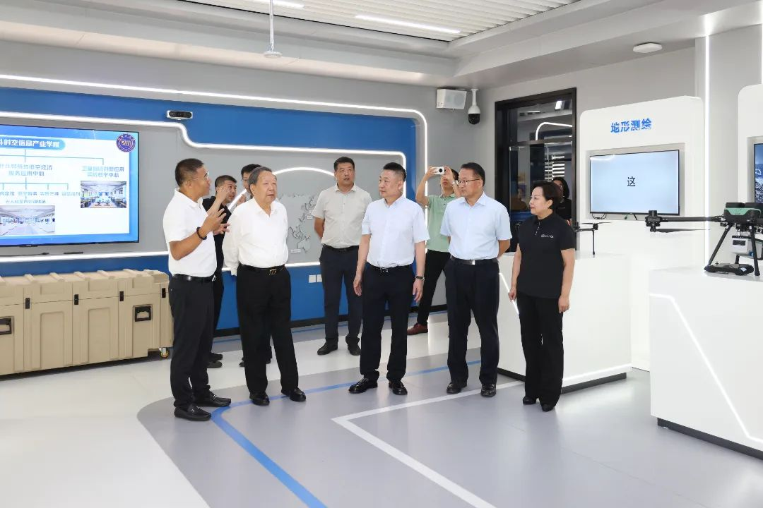
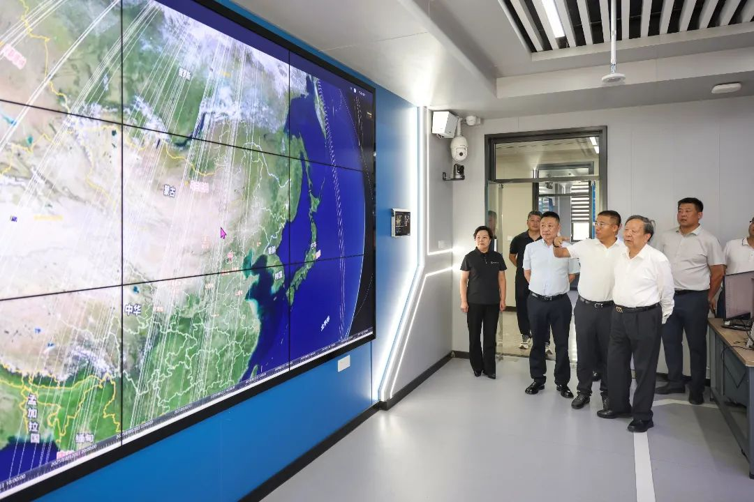
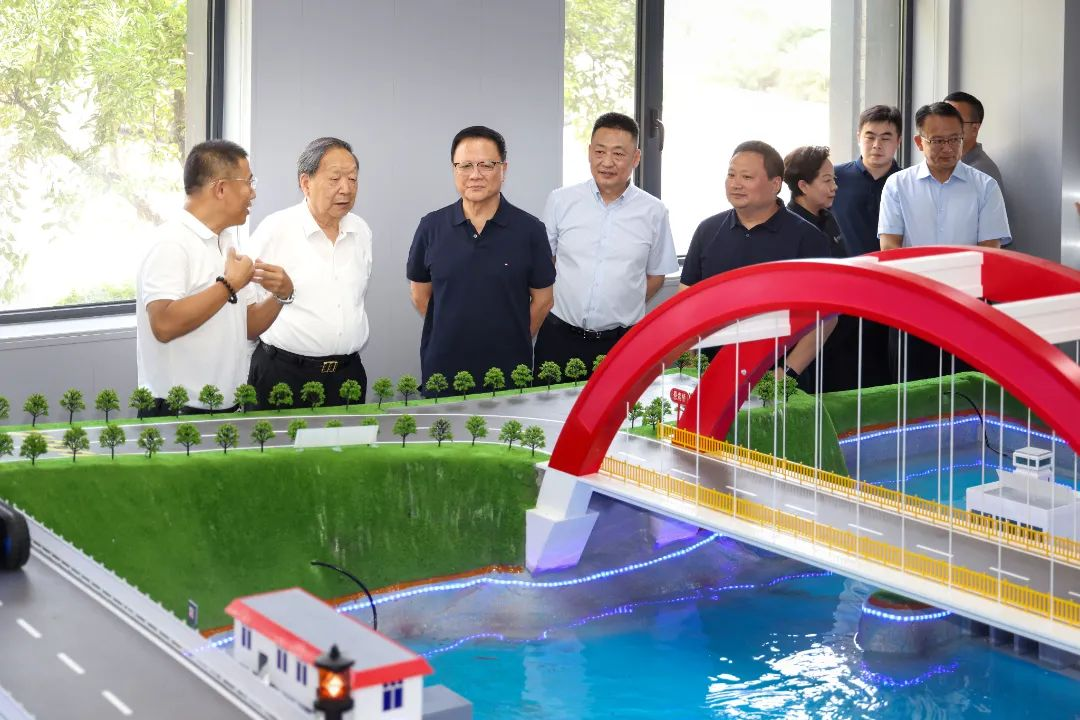
Before the report conference, attendees also visited our university's Shenggong-South Surveying and Mapping Beidou Spatiotemporal Information Industry College.
Translated by Basic Courses Department